Faroe Islands Road Trip: Europe's Most Breathtaking Drive
Sea tunnels, sheer cliffs, puffins and turf-roofed villages – how to plan a road trip around the Faroe Islands, with a suggested route and driving tips.

Some links in this guide are partner links: if you buy through them we may earn a small commission, at no extra cost to you. It never affects what we recommend. How we make money
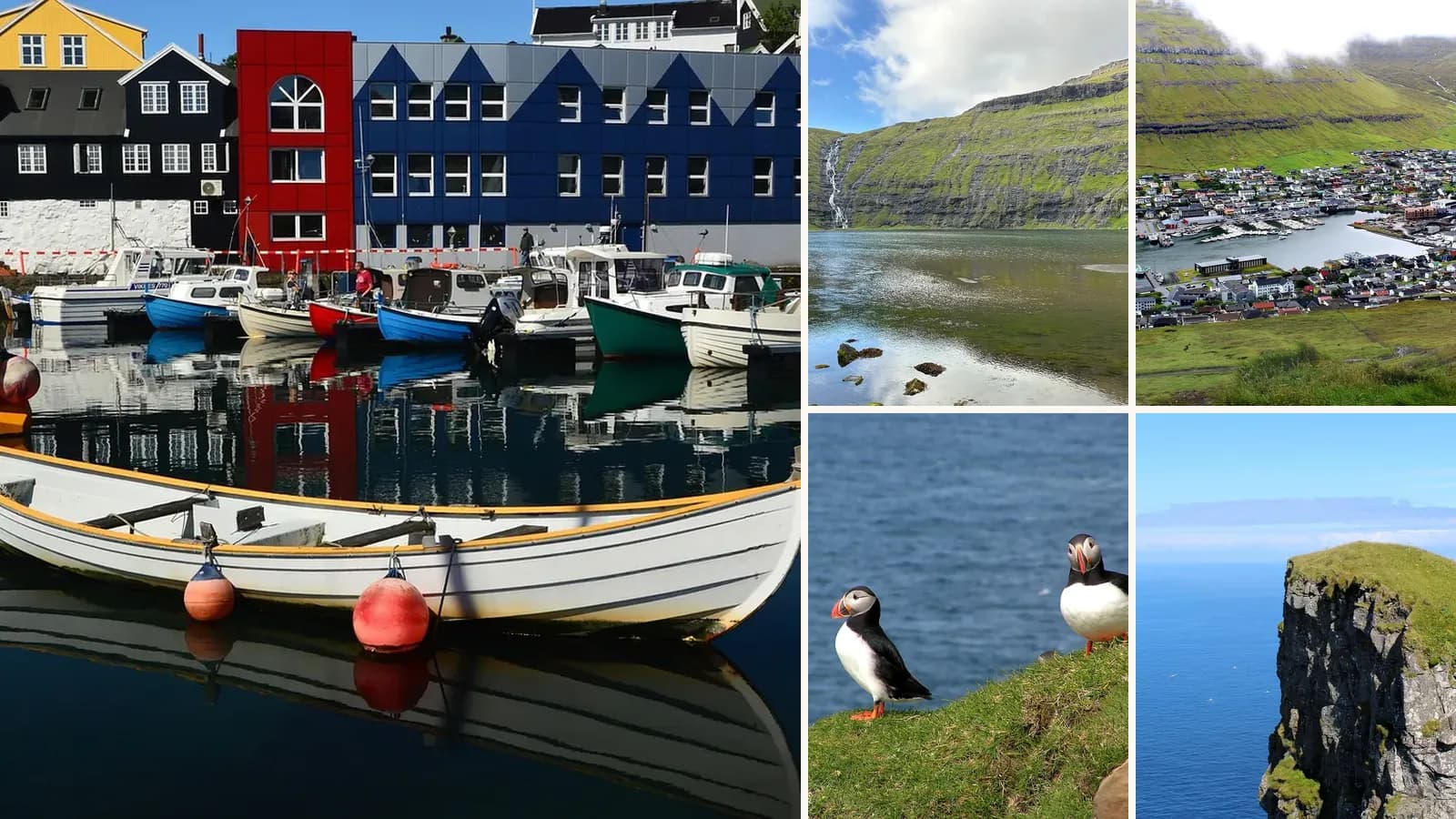
Between Iceland and Norway, the 18 Faroe Islands rise straight out of the North Atlantic in green cliffs, sharp mountains and deep fjords. Connected by bridges, ferries and remarkable undersea tunnels, they are perfect for a road trip – every bend reveals another waterfall, sea stack or turf-roofed village, and you'll often share the road with more sheep than cars. It's no surprise travel experts have named it Europe's most breathtaking drive.
The islands are a self-governing part of the Kingdom of Denmark, with their own language, culture and traditions. Distances are short – you can drive between most villages in under an hour – but the weather changes constantly, so it's worth allowing extra days. This guide sets out a suggested route, driving tips, the best time to go and how to get there.
Faroe Islands at a glance
| Quick facts | |
|---|---|
| Best time to visit | May–September for long days and open trails; puffins roughly May–August |
| How long to stay | 4–7 days |
| Airport | Vágar, about 45 minutes from Tórshavn |
| Currency | Faroese króna, on par with the Danish krone; cards widely accepted |
| Best for | Road trips, hiking, photography, birdwatching |
Suggested route
1. Tórshavn
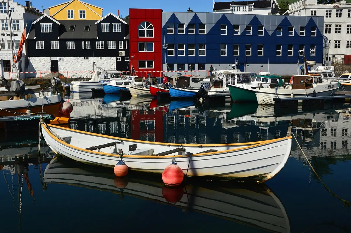
Start in the small capital, one of the world's smallest. Its oldest quarter, Tinganes, is a cluster of red-painted, turf-roofed wooden buildings on a rocky peninsula – one of the oldest parliamentary meeting places in the world, and still home to government offices. Around the harbour are cafés, design shops and some excellent restaurants serving Faroese lamb, fish and seafood. Tórshavn is the best base for supplies and evenings out.
Grass-roofed houses on the old Tinganes peninsula, the harbour full of boats and cosy cafés with fresh fish.
2. Gásadalur and Múlafossur
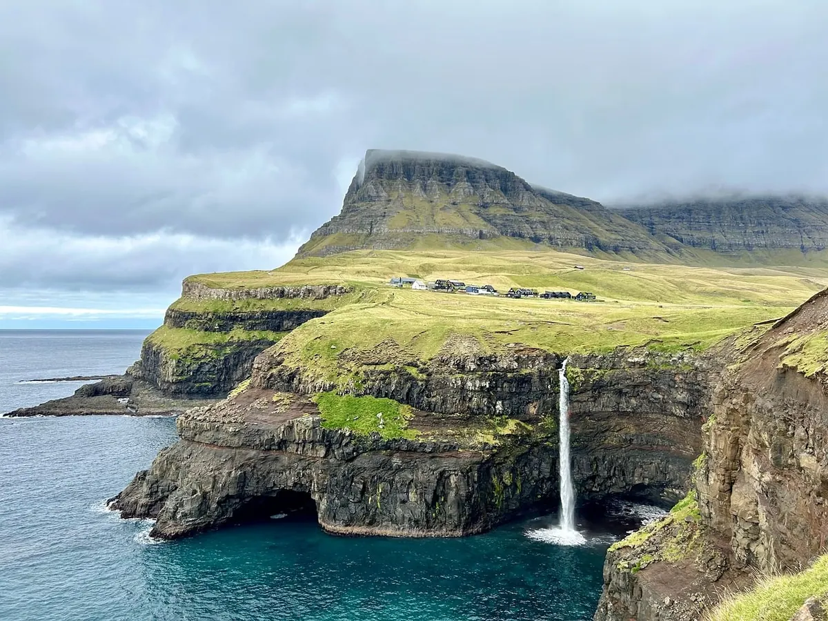
On Vágar, close to the airport, the Múlafossur waterfall drops from a cliff straight into the ocean below the tiny village of Gásadalur. It's the most famous view in the islands. Until a tunnel was built in 2004, the village could only be reached on foot over the mountain or by sea. Stay on the marked viewpoint path – the cliff edges are unstable.
The waterfall plunges off the cliff straight into the ocean, with the tiny village and the mountains behind – often in the mist.
3. Sørvágsvatn
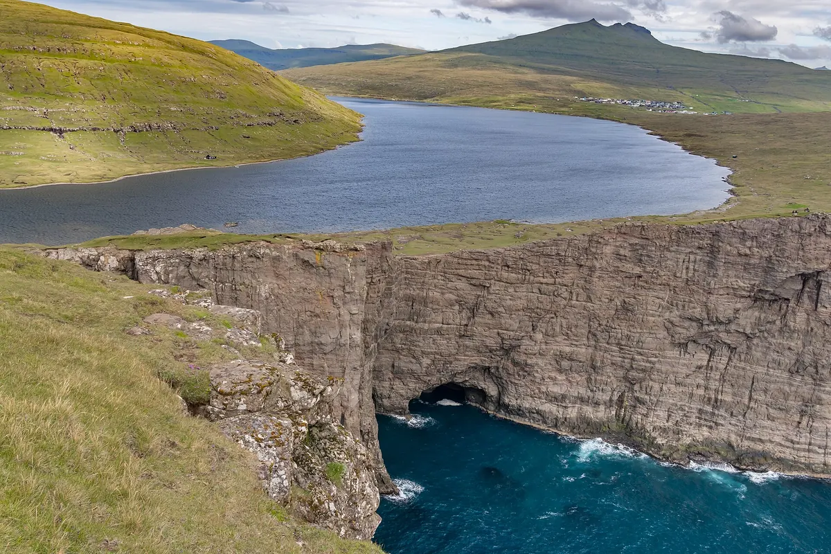
Also on Vágar, a hike of about an hour each way along the shore of Sørvágsvatn, the largest lake in the islands, leads to the Trælanípa cliff. From here, the lake appears to hang high above the sea – a famous optical illusion. The trail crosses private land and a hiking fee applies; pay at the start and keep away from the cliff edge.
From the cliff edge, the lake seems to hover high above the sea – an optical illusion that's breathtaking in person.
4. Saksun
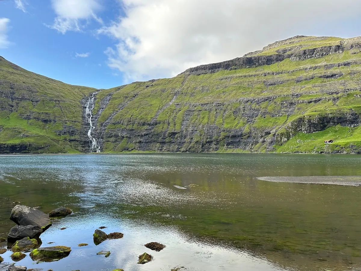
A tiny village of turf-roofed houses at the end of a narrow valley on Streymoy, above a tidal lagoon surrounded by mountains. At low tide, you can walk around the lagoon to the sea. Respect the residents' privacy and any access restrictions, as it's a working farm settlement.
Turf-roofed houses and a church overlook a tidal lagoon in a deep valley – walk across the sand at low tide.
5. Gjógv
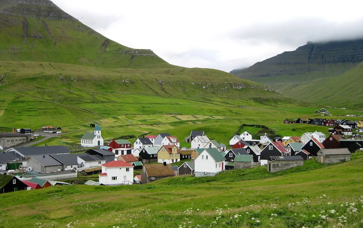
On the northern tip of Eysturoy, Gjógv is a village built beside a natural sea-filled gorge, used as a harbour for centuries, with steps leading down to the water. Hiking trails from the village climb onto the cliffs for views of the sea stacks. Nearby, Slættaratindur is the highest mountain in the islands.
A narrow gorge filled with sea water serves as a natural harbour, with the village and mountains above.
6. Klaksvík and the northern islands
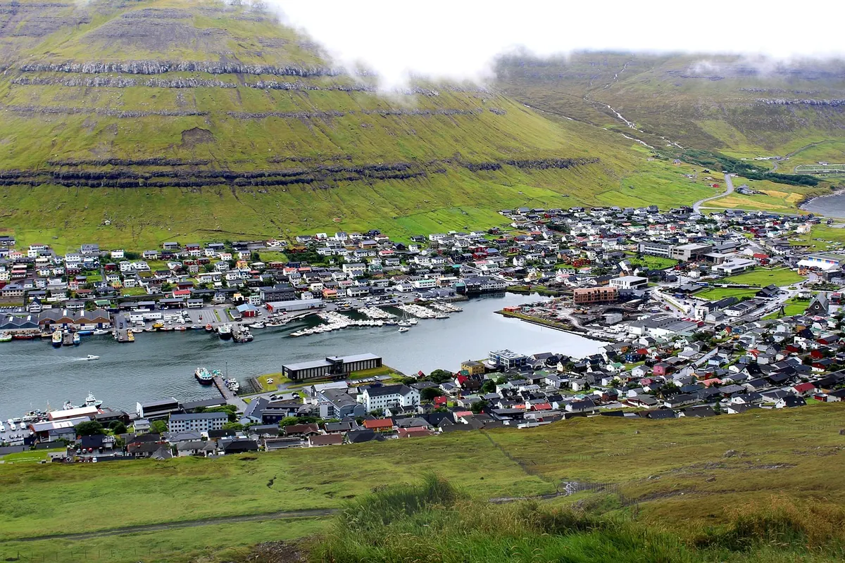
Drive through undersea tunnels to Klaksvík, the second-largest town, a fishing port between steep mountains. From here, explore the remote northern islands of Kalsoy and Viðoy. On Kalsoy, a walk leads to the Kallur lighthouse, one of the most dramatic viewpoints in the islands – the path is steep and exposed, so only go in good weather.
Tunnels under the sea and steep mountains – climb Kallur for the lighthouse and a dramatic ridge.
7. Mykines
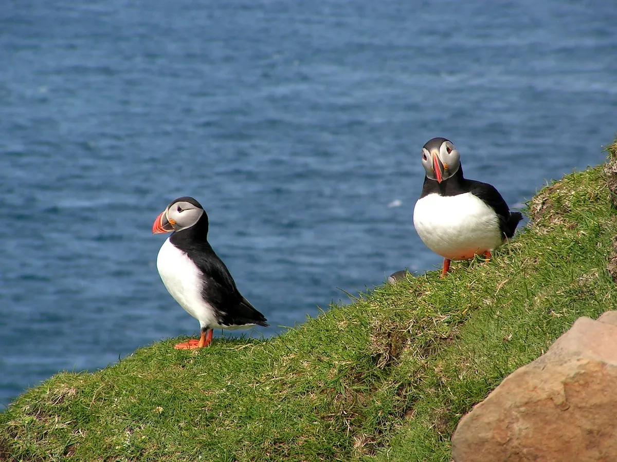
The westernmost island is home to puffins and other seabirds in summer. Reach it by ferry or helicopter from Vágar; both are weather-dependent, so book early and have a backup plan. Hikes to the puffin colonies and the lighthouse require booking and a fee, and are limited each day to protect the birds.
Thousands of puffins nest on the grassy slopes, flying past just metres away – take the boat in summer.
Driving tips
8. Know the tunnels and tolls
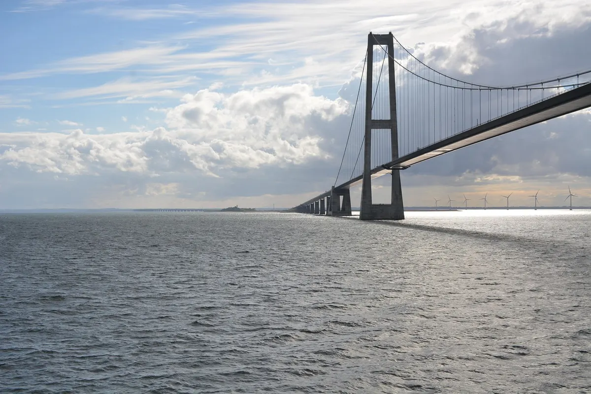
The islands are linked by a network of road tunnels, including several undersea tunnels; some have tolls, usually charged automatically via the hire car's registration – ask your rental company how they bill you. One undersea tunnel, Eysturoyartunnilin, even has an underground roundabout decorated with art. Older single-lane tunnels have passing places; check the signs to see which direction has priority.
9. Watch for sheep and fog
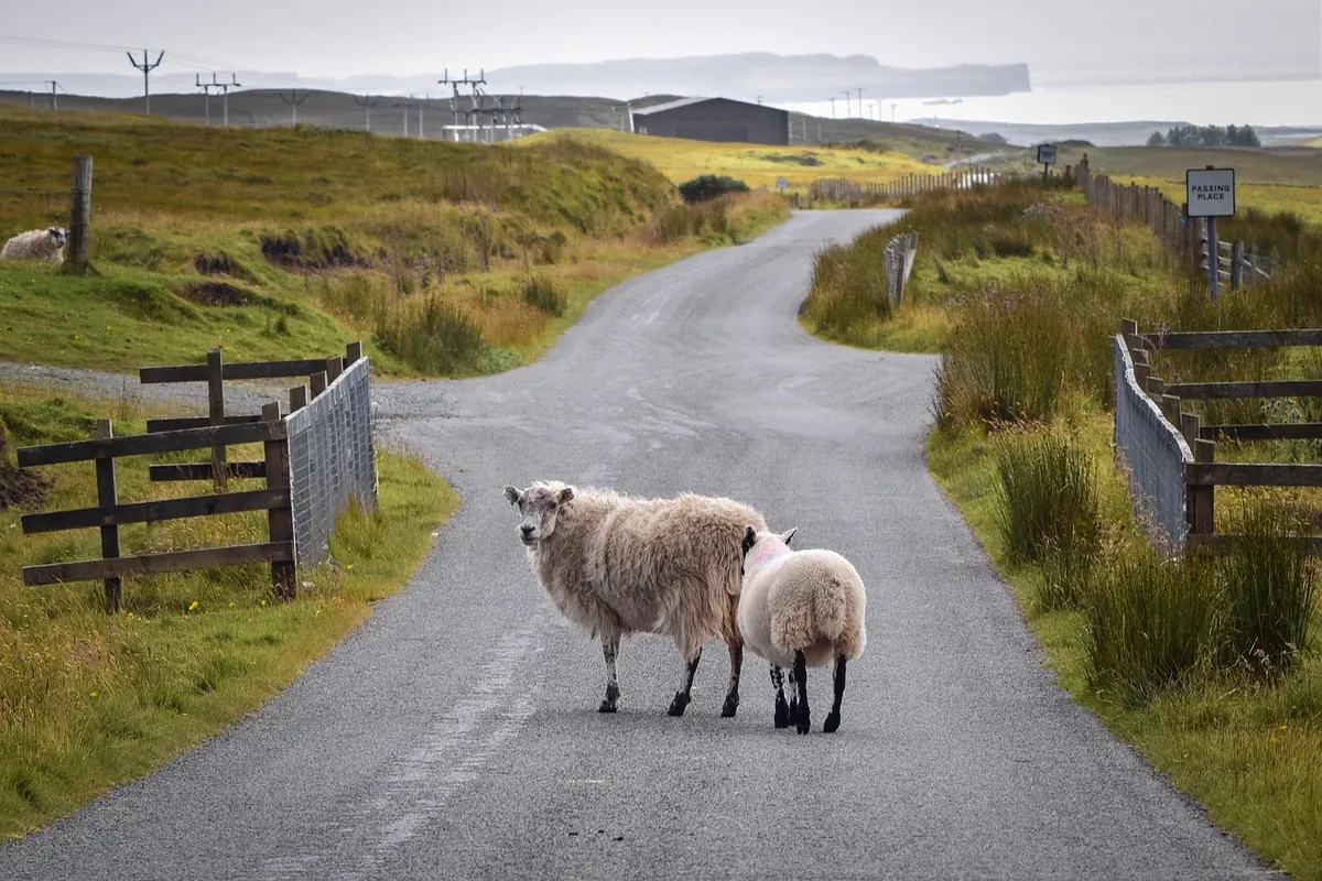
Sheep roam freely and often stand in the road, and fog can roll in very quickly, reducing visibility to a few metres. Drive slowly on narrow roads, keep headlights on and allow extra time. Fuel up when you can – petrol stations are fewer outside the towns.
10. Respect private land
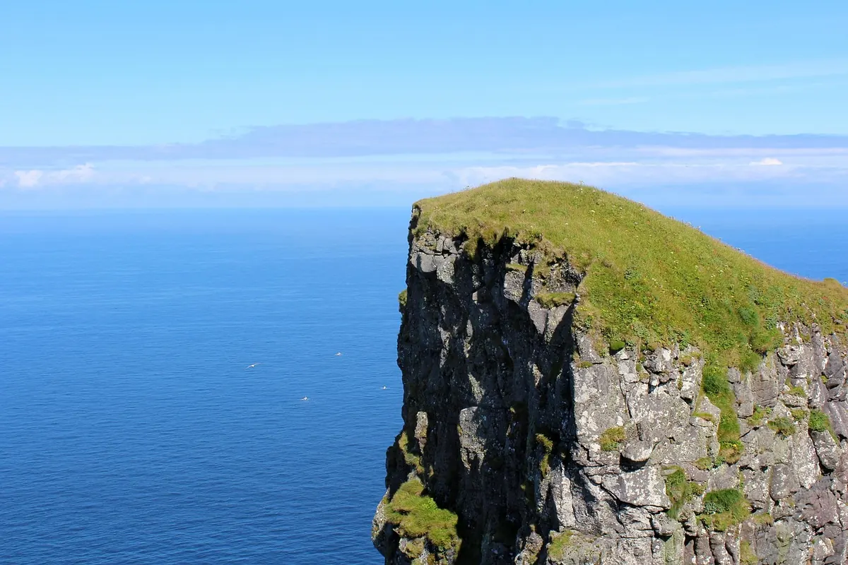
Most land in the Faroe Islands is privately owned, often by farmers. Many popular hiking trails cross farmland and some charge an access fee. Use official trails, close gates, keep dogs on leads and don't fly drones near birds or villages without permission.
Getting there
Vágar Airport has flights from Copenhagen and seasonal routes from other European cities. There's also a ferry from Denmark. Book car hire well ahead, especially in summer, as the number of cars is limited. Accommodation is limited too – book early and consider staying in two bases, such as Tórshavn and a village on Eysturoy, to cut down driving.
Costs: the Faroe Islands are expensive, similar to Scandinavia. Self-catering, picnics and supermarkets help keep costs down.
Weather: pack waterproofs, warm layers and good hiking boots whatever the season – conditions can change within minutes.
Frequently asked questions
How many days do you need in the Faroe Islands?
Four to five days gives you time to drive the main islands and allow for weather changes. A week lets you add boat trips and hikes.
Are the Faroe Islands expensive?
Yes – food, accommodation and car hire are expensive, similar to Scandinavia. Self-catering and booking early help.
When is the best time to visit the Faroe Islands?
May to September for long days, open hiking trails and puffins (roughly May to August). The weather changes quickly at any time of year.
Do you need a 4x4 in the Faroe Islands?
No. The roads are paved and well maintained, so an ordinary car is fine. Drive carefully in fog and on narrow mountain roads.
Keep reading
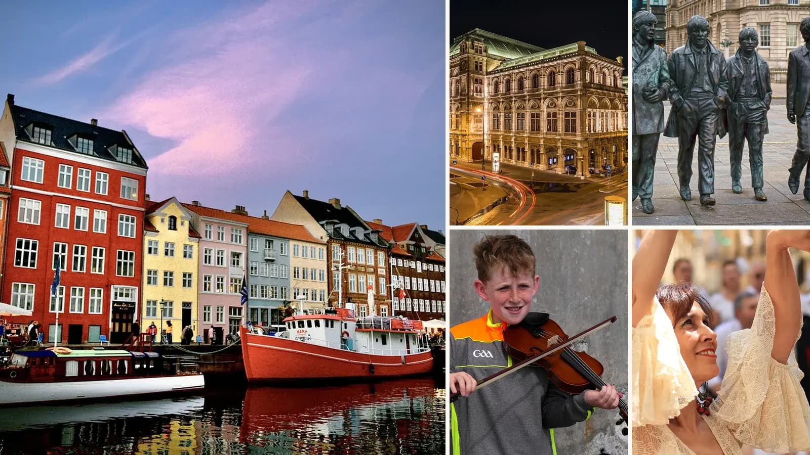
The Best European Cities for Music Lovers: Record Shops, Venues and Festivals
Copenhagen, Berlin, Vienna, Liverpool, Dublin and Lisbon – the best cities in Europe for live music, record shopping and music history, with what to see in each.
Dingle, Ireland: A Guide to the Wild Atlantic Way's Most Charming Town
Colourful pubs with live music, the Slea Head Drive, Gallarus Oratory, boat trips and beaches – the best things to do in Dingle on Ireland's Wild Atlantic Way.
Croatia Travel Guide: Dubrovnik, Split, the Islands and Plitvice
Dubrovnik's walls, Diocletian's Palace in Split, Hvar and Korčula, Plitvice Lakes and Istria – the best places to visit in Croatia and how to plan a trip.
How Iceland Is Rethinking Tourism – and How to Visit Responsibly
Iceland's tourism boom changed the country. How it is managing crowds and protecting nature, and how to visit responsibly – with seasons, routes, safety rules and tips.