The Wild Atlantic Way: Route, Map, Signature Discovery Points and Itinerary
Plan your Wild Atlantic Way road trip: the 2,500 km route, its six regions, the 15 Signature Discovery Points, how the signs work and a 10-day itinerary.
Some links in this guide are partner links: if you buy through them we may earn a small commission, at no extra cost to you. It never affects what we recommend. How we make money
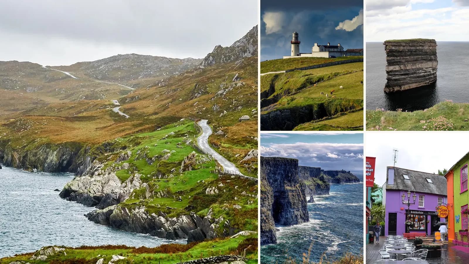
The Wild Atlantic Way is Ireland's great coastal road trip: a signed touring route of about 2,500 km along the west coast, from Malin Head in Donegal – the northernmost point of the island – to Kinsale in County Cork. Along the way it passes sea cliffs, surf beaches, fjords, mountains, islands, music pubs and some of Europe's most dramatic scenery.
This guide explains how the route works – the regions, the Discovery Points and Signature Discovery Points, the signs and maps – and gives a suggested itinerary, driving tips and the best time to go.
The Wild Atlantic Way at a glance
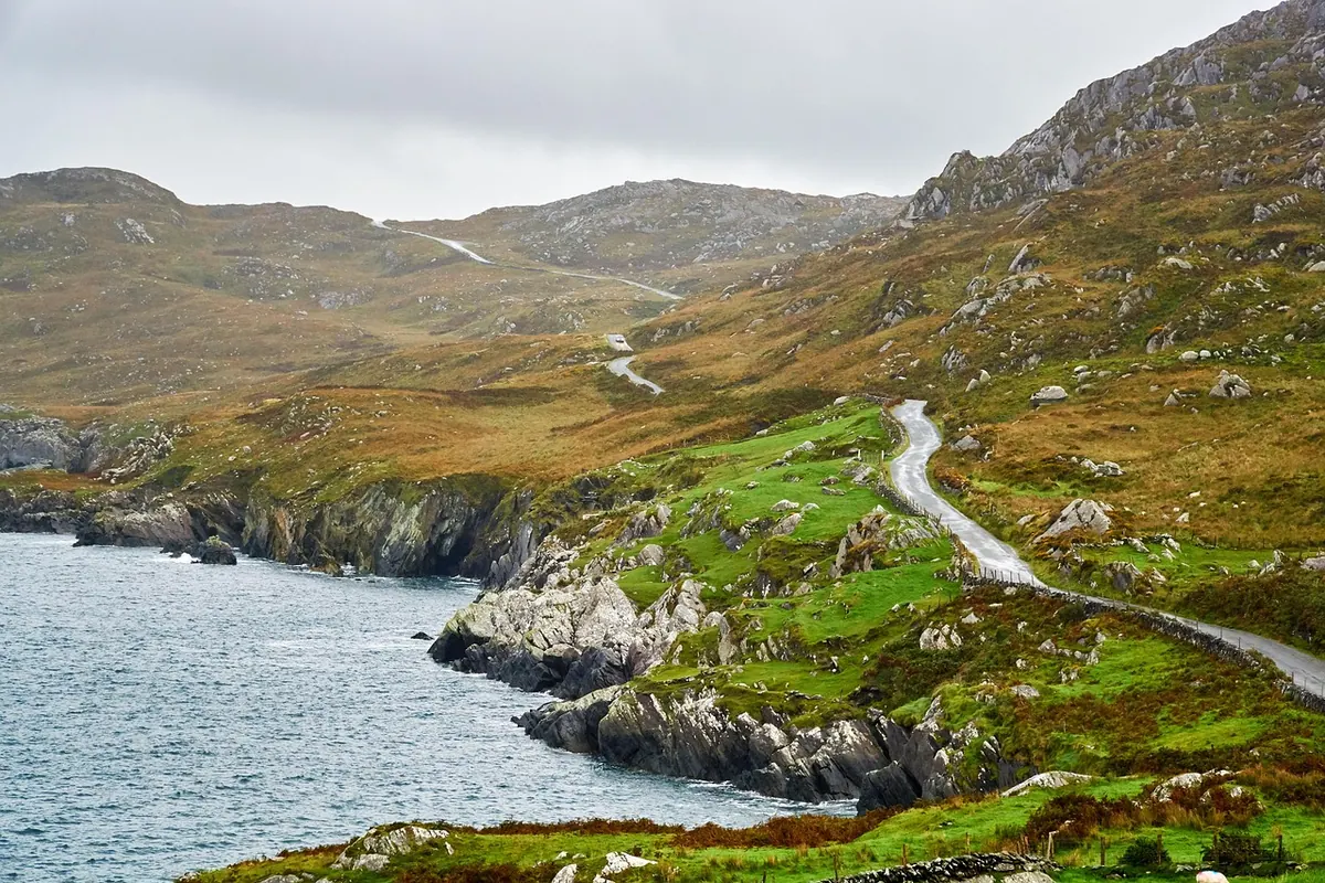
- Length: about 2,500 km (1,550 miles), one of the longest defined coastal touring routes in the world.
- From / to: Malin Head, Inishowen (Donegal) to Kinsale (Cork).
- Counties: Donegal, Leitrim, Sligo, Mayo, Galway, Clare, Limerick, Kerry and Cork.
- Discovery Points: around 188 marked stops, including 15 Signature Discovery Points.
- Time needed: 2–3 weeks for the whole route; 7–10 days for one or two regions.
- Official information: wildatlanticway.com, run by Fáilte Ireland.
How the route works
1. The six regions
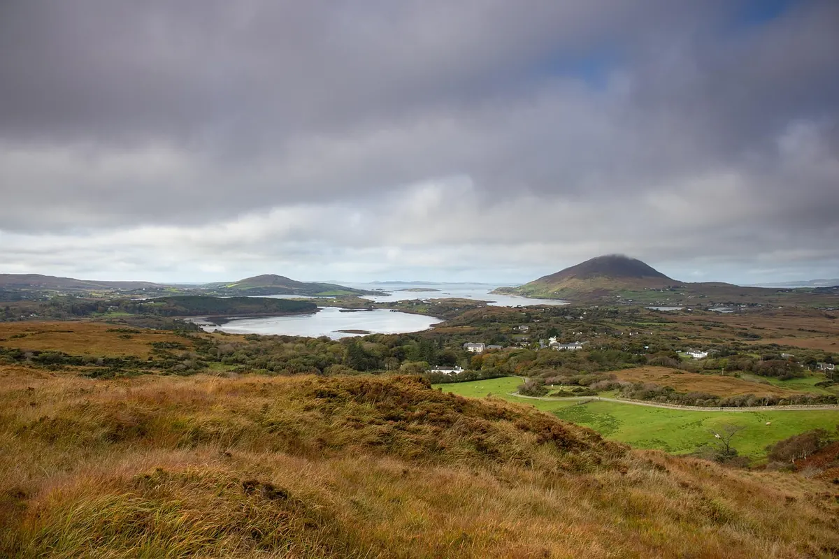
The route is divided into six zones, each with its own character:
- The Northern Headlands (Donegal): wild headlands, empty beaches and Malin Head.
- The Surf Coast (Donegal, Leitrim, Sligo): Atlantic surf at Bundoran, Strandhill and Mullaghmore, and Yeats Country.
- The Bay Coast (Mayo and north Galway): Achill Island, Clew Bay and Croagh Patrick.
- The Cliff Coast (Galway and Clare): Connemara, Galway city, the Burren and the Cliffs of Moher.
- The Southern Peninsulas (Kerry and west Cork): the Dingle Peninsula, the Ring of Kerry, Beara and the Skelligs.
- The Haven Coast (Cork): sheltered harbours, colourful villages and Kinsale.
2. Discovery Points
Discovery Points are the backbone of the Wild Atlantic Way. Each one is a signposted stop – a viewpoint, beach, harbour, headland or heritage site – usually with a parking area and an information board explaining the landscape, wildlife or history. There are around 188 of them, so you'll pass several every day. Many are short detours off the main road, and some of the best are hidden down small lanes you'd otherwise drive past.
3. The 15 Signature Discovery Points
Fifteen of the Discovery Points are designated Signature Discovery Points – the route's headline stops. From north to south:
- Malin Head – Ireland's most northerly point, Donegal.
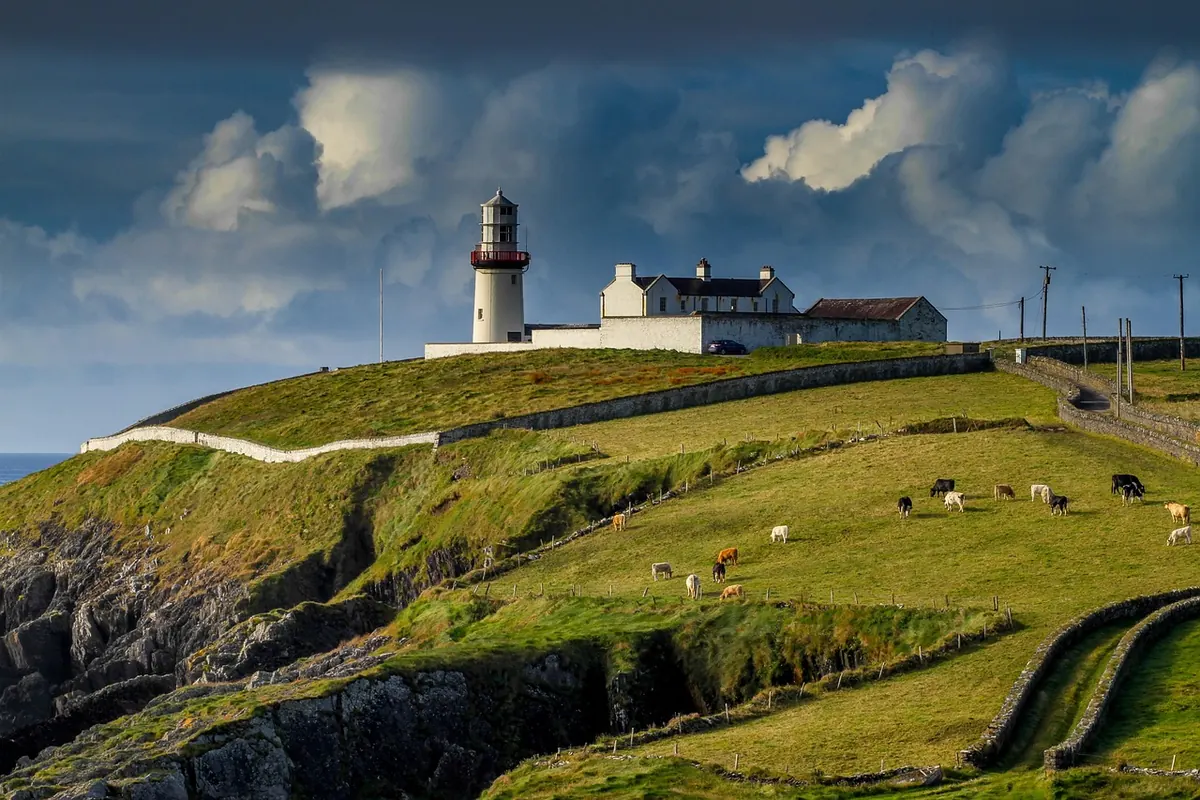
- Fanad Head – a lighthouse on a dramatic headland, Donegal.
- Sliabh Liag (Slieve League) – some of Europe's highest sea cliffs, Donegal.
- Mullaghmore Head – big-wave surf and Classiebawn Castle, Sligo.
- Downpatrick Head – the sea stack of Dún Briste, Mayo.
- Keem Bay – a sheltered beach on Achill Island, Mayo.
- Killary Harbour – Ireland's fjord, on the Galway–Mayo border.
- Derrigimlagh – a bog landscape linked to Marconi and the first transatlantic flight, Connemara.
- The Cliffs of Moher – Ireland's most famous cliffs, Clare.
- Loop Head – a lighthouse at the mouth of the Shannon, Clare.
- Blasket Sound – views of the Blasket Islands from the Dingle Peninsula, Kerry.
- Skellig Michael – the island monastery off the Iveragh Peninsula, Kerry.
- Dursey Island – reached by Ireland's only cable car, Beara, Cork.
- Mizen Head – Ireland's most south-westerly point, Cork.
- Old Head of Kinsale – a lighthouse headland near the end of the route, Cork.
4. Signs and maps
The route is marked with brown signs carrying the wavy "WAW" logo. Signs with a white N show the northbound direction and signs with a white S the southbound direction, so you can drive it either way. Discovery Points have their own signs and information boards. The official website has an interactive map with every Discovery Point, and printed maps are available from tourist offices – but phone coverage can be patchy, so download offline maps before you set off.
The best stops, region by region
5. Donegal – Malin Head, Fanad and Sliabh Liag
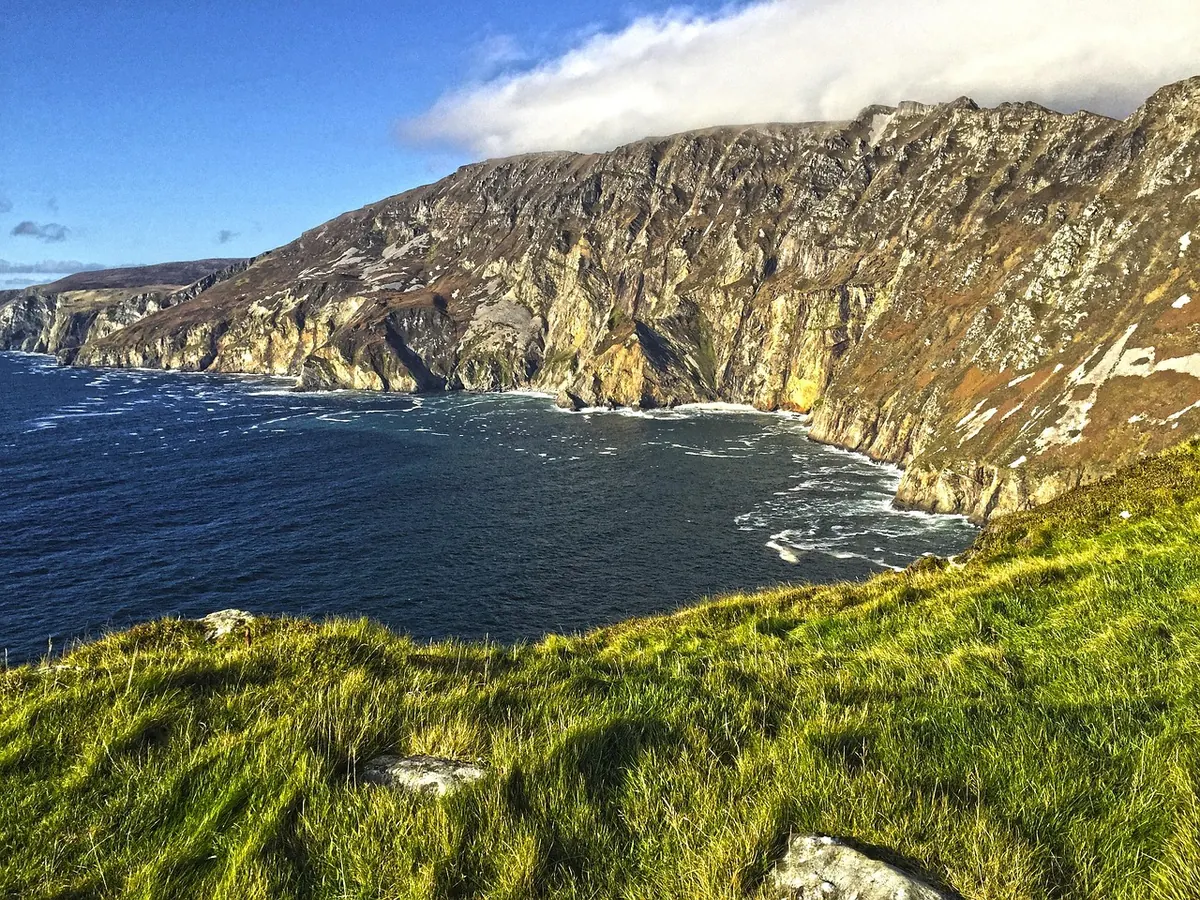
Start (or finish) at Malin Head, where "ÉIRE" stones laid out during the Second World War still spell out the country's name for passing aircraft. Drive the Inishowen 100 loop, the Atlantic Drive around Downings, Fanad Head lighthouse and Glenveagh National Park, then walk the cliff paths at Sliabh Liag, almost three times higher than the Cliffs of Moher.
6. Sligo and Mayo – surf, sea stacks and Achill
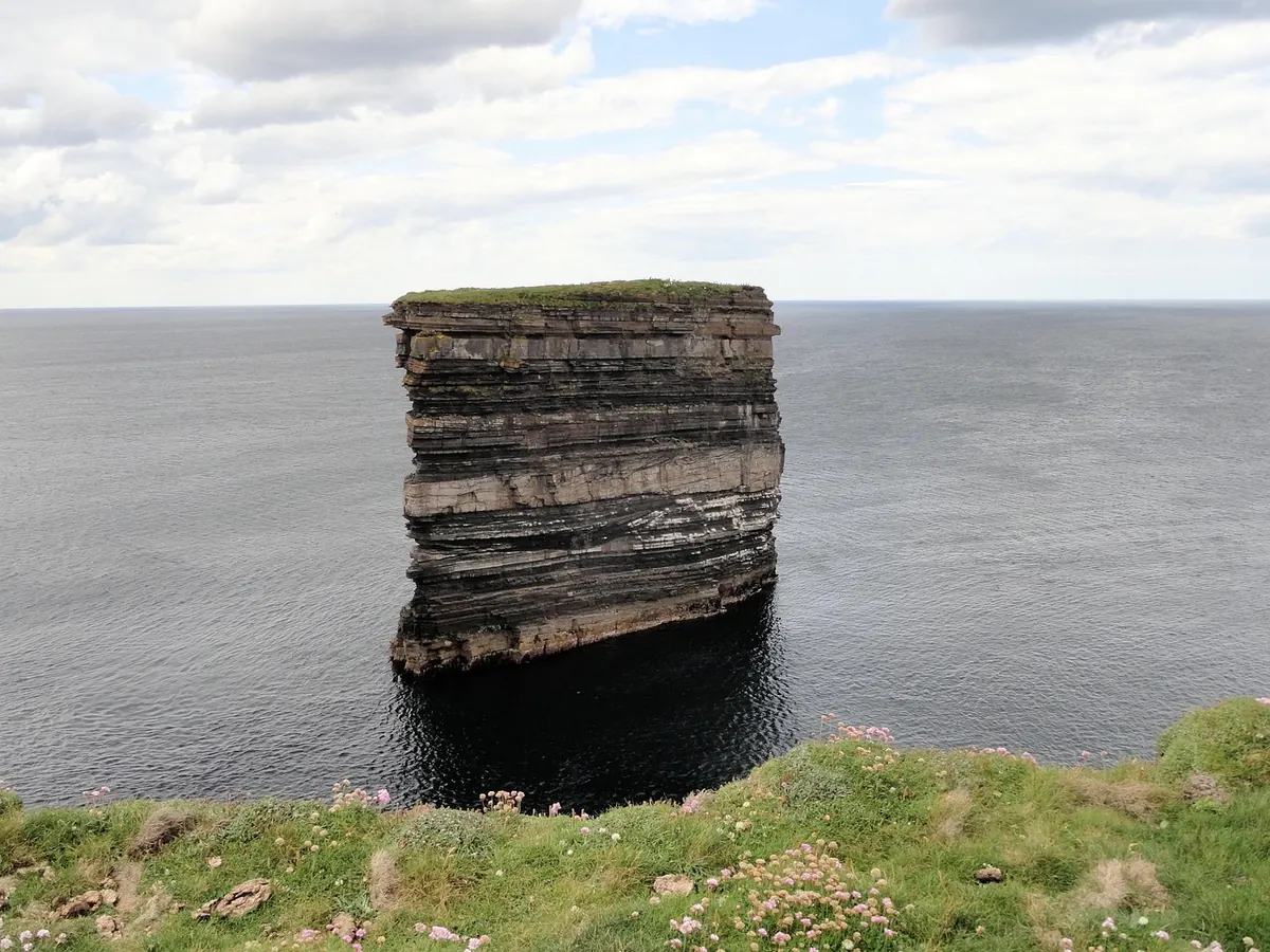
Surf or take a lesson at Strandhill or Bundoran, admire Benbulben mountain, then cross into Mayo for Downpatrick Head and the Céide Fields, one of the world's most extensive Stone Age sites. Achill Island has Keem Bay, the Atlantic Drive and the deserted village at Slievemore. Climb Croagh Patrick above Westport, one of Ireland's liveliest towns.
7. Connemara and Galway
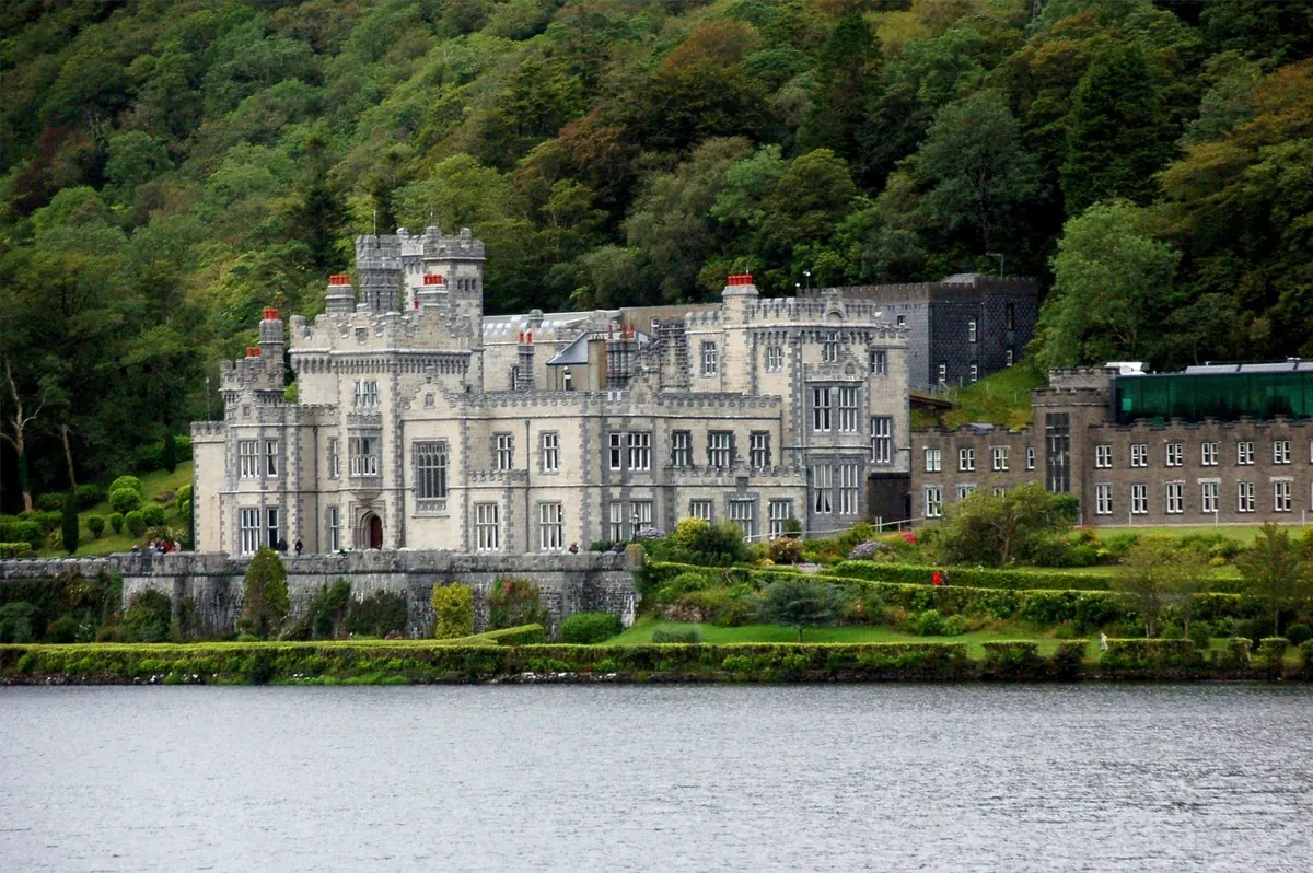
Connemara's lakes, bogs and mountains are some of Ireland's wildest landscapes: drive past Killary Harbour, visit Kylemore Abbey and walk in Connemara National Park. Galway city is the cultural capital of the west, with music pubs and the Latin Quarter. Take a ferry to the Aran Islands and cycle to the clifftop fort of Dún Aonghasa on Inis Mór.
8. Clare – the Burren and the Cliffs of Moher
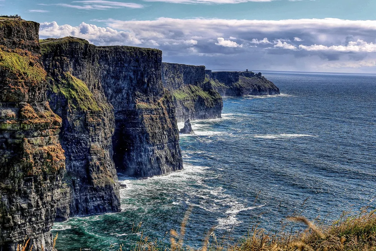
The Burren's limestone pavements host an extraordinary mix of wildflowers. The Cliffs of Moher rise more than 200 metres above the sea – visit early or late to avoid crowds, or walk the coastal trail from Doolin. Doolin is famous for traditional music; Loop Head, further south, is quieter and just as dramatic.
9. Kerry – Dingle, the Ring of Kerry and the Skelligs
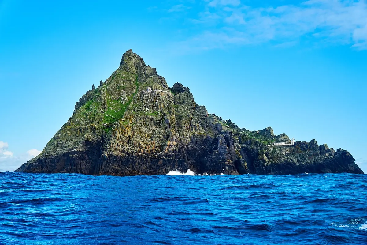
The Dingle Peninsula's Slea Head Drive has beehive huts, beaches and views of the Blasket Islands; Dingle town is one of Ireland's most charming – see our Dingle guide. The Ring of Kerry and the quieter Skellig Ring circle the Iveragh Peninsula, and in summer boats sail to Skellig Michael (book months ahead; landings depend on the weather).
10. West Cork – Beara, Mizen Head and Kinsale
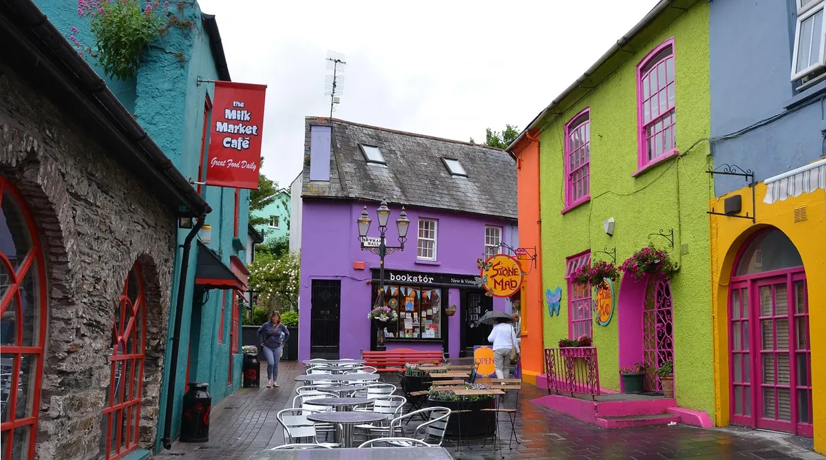
The Beara Peninsula is a less-visited alternative to the Ring of Kerry, with the cable car to Dursey Island. Mizen Head's footbridge crosses a chasm to a signal station on Ireland's south-western tip. Finish in Kinsale, a harbour town known for food, colourful streets and Charles Fort, with the Old Head of Kinsale nearby.
A 10-day Wild Atlantic Way itinerary
This itinerary covers the most popular central and southern section, from Galway to Kinsale. Add a second week to include Mayo, Sligo and Donegal.
- Day 1: arrive at Shannon or Dublin airport; drive to Galway city.
- Day 2: day trip to the Aran Islands.
- Day 3: Connemara loop – Killary Harbour, Kylemore Abbey, Derrigimlagh, Clifden.
- Day 4: the Burren and the Cliffs of Moher; night in Doolin or Lahinch.
- Day 5: Loop Head, then the car ferry across the Shannon (Killimer–Tarbert) to Kerry.
- Day 6: Dingle town and the Slea Head Drive.
- Day 7: Killarney National Park and the Gap of Dunloe.
- Day 8: Ring of Kerry and the Skellig Ring (or a boat to Skellig Michael).
- Day 9: Beara Peninsula or Mizen Head.
- Day 10: Kinsale and the Old Head; return via Cork airport.
For a full-island route that includes Dublin and Northern Ireland, see our Ireland road trip itinerary.
Driving tips
- Drive on the left. Rental cars are usually manual – book an automatic early if you need one.
- Narrow roads: many coastal roads are single-track with passing places. Allow far more time than the map suggests – 50 km can easily take an hour or more.
- Ring of Kerry: coaches traditionally drive anti-clockwise, so many drivers go clockwise to avoid meeting them on narrow bends.
- Fuel and cash: fill up when you can in remote areas; most places accept cards.
- Tours: if you don't want to drive, guided day tours run from Galway, Killarney and Dublin to the Cliffs of Moher, Connemara and the Ring of Kerry.
When to go
- May, June and September are ideal: long days, wildflowers, and fewer visitors than high summer.
- July and August are busiest and most expensive; book accommodation well ahead.
- October to March brings storms, short days and closures, but also empty roads, dramatic seas and cosy pubs.
- Whatever the season, pack waterproofs and layers – the weather can change several times a day.
Frequently asked questions
How long is the Wild Atlantic Way?
About 2,500 km (around 1,550 miles), running along Ireland's west coast from Malin Head on the Inishowen Peninsula in Donegal to Kinsale in County Cork.
What are the Wild Atlantic Way Discovery Points?
Discovery Points are marked stops along the route – viewpoints, beaches, headlands and heritage sites – with parking and information boards. There are around 188 of them, including 15 Signature Discovery Points that showcase the route's most spectacular places.
How many days do you need for the Wild Atlantic Way?
Driving the whole route comfortably takes two to three weeks. With 7 to 10 days, most people choose one or two regions, such as Kerry and Clare or Galway, Connemara and Mayo.
Which direction should you drive the Wild Atlantic Way?
Either works. The route is signed in both directions: northbound signs have a white 'N' and southbound signs a white 'S' next to the wavy WAW logo. Driving north to south keeps the sea on your right on many stretches.
When is the best time to drive the Wild Atlantic Way?
May, June and September offer long days, fewer crowds than July and August, and the best chance of settled weather. Winter is quiet and dramatic but some attractions and ferries close.
Keep reading
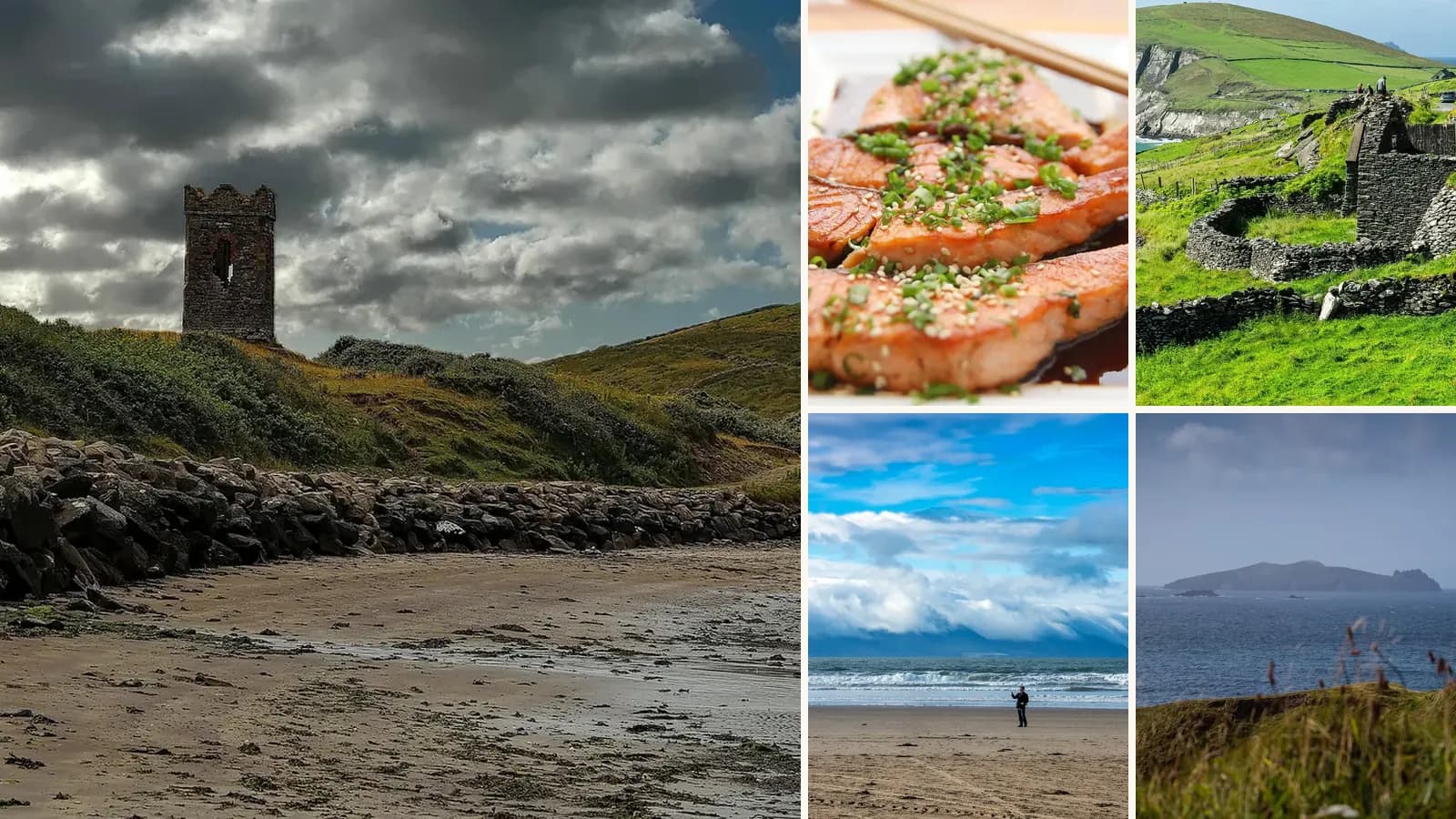
Dingle, Ireland: A Guide to the Wild Atlantic Way's Most Charming Town
Colourful pubs with live music, the Slea Head Drive, Gallarus Oratory, boat trips and beaches – the best things to do in Dingle on Ireland's Wild Atlantic Way.
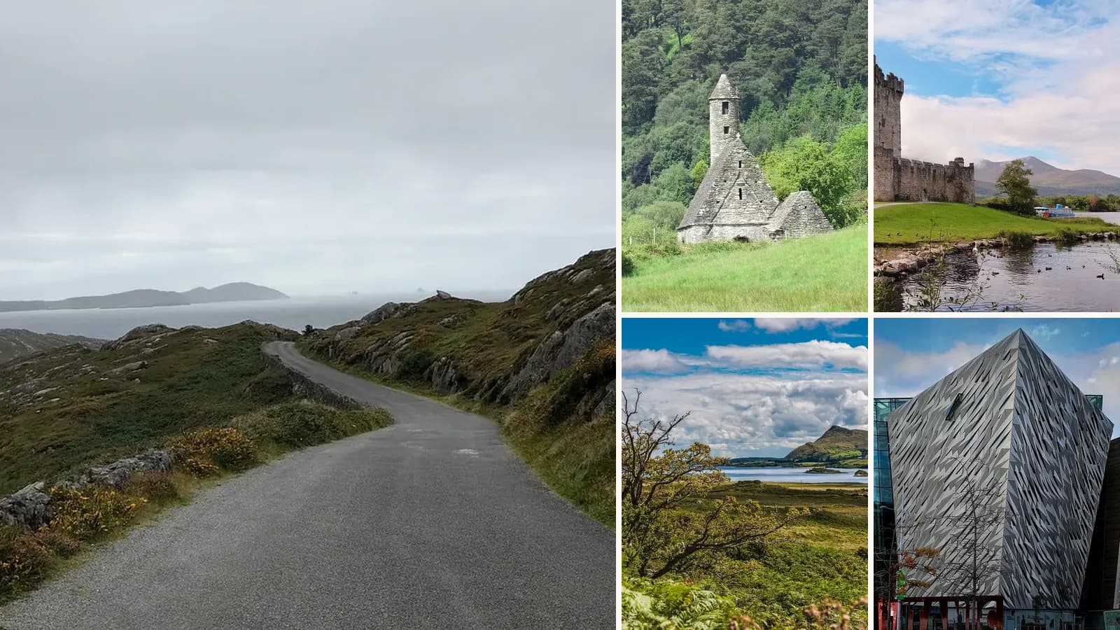
The Perfect Ireland Road Trip: 7, 10 and 14-Day Itineraries
Plan a road trip through Ireland: a 14-day loop from Dublin, shorter 7 and 10-day routes, the best stops, driving tips, costs and when to go.

The Dublin Bucket List: 20 Things to Do in the City
Trinity College and the Book of Kells, Kilmainham Gaol, the perfect pint and coastal walks by DART – 20 unmissable things to do in Dublin, with practical tips.

The Best Things to Do in Athens
The Acropolis, Plaka, rooftop bars, food markets and the Athens Riviera – the best things to do in Athens, with tips to beat the crowds.