


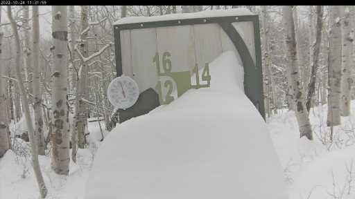
A storm system that concentrated most of its energy on the Western Slope delivered 12-15 inches of snow Sunday in the Elk and Flat Top ranges.
Powderhorn Resort, located 45 minutes east of Grand Junction on the Grand Mesa, received 12 inches and Steamboat Springs received nine. Four areas — Aspen Highlands, Buttermilk, Beaver Creek and Copper Mountain — picked up eight. Front Range areas received 3-5 inches.
Light to moderate showers could continue Monday into Wednesday, according to the OpenSnow forecasting and reporting service. A “moderately strong” storm Wednesday night into Thursday could bring 4-10 inches over most Colorado mountains.
“The storm could come in earlier or later, or take a slightly different track,” OpenSnow founding meteorologist Joel Gratz wrote in a post Monday morning. “For now, though, the main message is that we’ll see multiple chances for snow this week, and temperatures will mostly stay colder than freezing through Friday morning, which should help snowmaking crews.”
Arapahoe Basin opened on Sunday, becoming the first area in the state to open for the season. Keystone is expected to be the next, and this week’s colder temperatures should help snowmaking efforts there.
Subscribe to our weekly newsletter, The Adventurist, to get outdoors news sent straight to your inbox.
Source: Read Full Article