


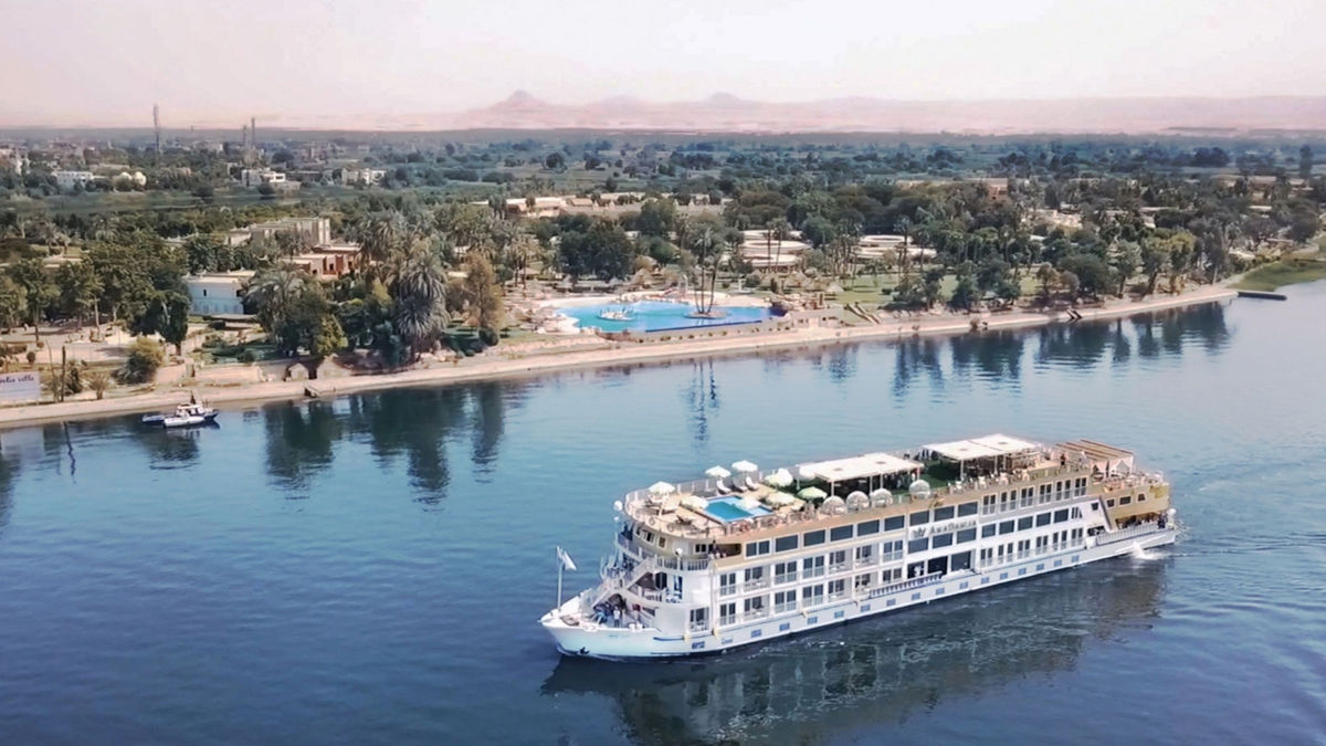

The Mississippi River I knew growing up in the South was wide and thunderous, silty and vengeful. It swallowed up whole towns when the mood struck, which seemed to be often if you watched the evening news. As a kid, I reckoned the river started somewhere in Kentucky or Missouri, maybe Illinois. I never pictured it flowing south from Minnesota, less than 150 miles from the Canadian border.
Although the name Mississippi comes from the Algonquian word misi-ziibi, meaning “great river,” my grade school narrative failed to mention the Indigenous people gathering wild rice from hand-carved canoes and hardy loggers in the northern woodlands assembling timber rafts. It wasn’t until I moved to Minneapolis that I understood that directional phrases like “west of the Mississippi” existed because the river literally bisects America.
Established in 1938, the Great River Road, which follows the waterway from Minnesota to the Gulf of Mexico, rubbing shoulders with 10 states along the way, was recently promoted by the Federal Highway Administration from a National Scenic Byway to an All-American Road—a designation that acknowledges its natural beauty and historic, cultural, and recreational relevance. Curious how the northernmost leg compares to the southern stretch I knew as a child, I ventured to the headwaters in Itasca State Park. The plan was to work my way backward to the Twin Cities, through a national forest, an Ojibwe reservation, and three state parks.
More than 100 lakes pock the dense woods of Itasca. There is the Preacher’s Grove, a thicket of red pines three centuries old, and Pioneer Cemetery, a final resting place for early Itascan homesteaders. But most tourists gather at the headwaters, a 900-foot stroll from the parking lot. They skip rocks and dip their bare feet in the frigid waters and TikTok next to a wooden sign that reads “Here 1,475 ft above the ocean, the Mighty Mississippi begins to flow on its winding way 2,552 miles to the Gulf of Mexico.”
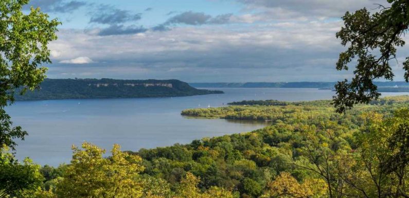
For a river associated with so many superlatives, the Mississippi starts with a whimper. It’s just a lazy stream purling at the edge of a placid lake, calm and clear and barely 12 feet wide—nothing like the murky waters I remembered stretching a mile and a half from bank to bank, gleaning strength from the tributaries of the Ohio and Missouri rivers.
What most captivated me was what came after the headwaters, as I traced the river’s fishhook curves through beaver dams and threadbare stands of birch and aspen, past armories and churches and trading posts shilling “Uff Da!” shot glasses and Minnetonka moccasins. There was Bemidji High School, home of the Lumberjacks, and a bald eagle pecking at roadkill. In Lake Bemidji State Park, I strode a boardwalk through a fragile spruce and tamarack bog, eyes peeled for pitcher plants and any creature unfortunate enough to be mummified beneath the floating mat of sphagnum moss.
Like the salt-and-pepper-haired motorcyclists who passed me on the left, I leaned into the road’s curves. Woods unfolded into more woods. The river was my constant companion, playfully disappearing and reappearing in this expanse of flaxen nothingness, the monotony occasionally punctuated by a collapsed barn or Trump-as-Rambo flag flapping in the breeze. Man-made diversions were few and far between, so when I spotted a colossal statue of Paul Bunyan, lording over downtown Bemidji with his faithful blue ox, Babe, at his side, or an old-school supper club with a 65-foot muskie for a billboard, I stopped. The Mississippi of my imagination will always be the Sun-and-Stax version, fattened up on catfish and mile-high meringues, forever mythologized by Eudora Welty and Tennessee Williams. At least now it’s a more nuanced rendering, for I know how far the river can take me.
Road Shows
This year, for the first time in over a decade, the Department of Transportation anointed a fresh set of National Scenic Byways—beautiful, culturally significant routes that are perfect for long, leisurely drives. Here, four of our favorite newbies.
The Bold Coast Scenic Byway Craggy cliffs and striped lighthouses compete for motorists’ attention along this 125-mile coastal Maine route, which unfurls between the fishing towns of Eastport and Milbridge.
Old Frankfort Pike In just a half-hour’s drive, this 16.9-mile stretch from Lexington to Frankfort packs in Thoroughbred horse farms, carpets of Kentucky bluegrass, and a picturesque canopy of gnarled oak trees.
Boom or Bust National Scenic Byway Louisiana’s 132-mile Highway 2 owes its name to the abandoned oil rigs that once lured fortune seekers. These days, visitors come for boudin balls and crawfish étouffée.
Zion Scenic Byway Starting in La Verkin, Utah, and ending at the south entrance of Zion National Park, this 20-mile corridor of State Route 9 has towering red rock cliffs and tranquil reservoirs.
This article appeared in the July/August 2021 issue of Condé Nast Traveler. Subscribe to the magazine here.
Source: Read Full Article