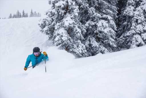
Ski areas in Colorado’s central mountains and portions of the northern mountains received bountiful snowfall overnight with more expected through the morning.
Crested Butte and Snowmass were the big winners, both receiving 11 inches overnight. Resorts reporting 8-9 inches included Vail, Steamboat, Aspen Mountain, Aspen Highlands, Powderhorn and Beaver Creek.
Popular backcountry ski destinations shared in the bounty. Cameron Pass, west of Fort Collins, received 11 inches, as did Buffalo Pass near Steamboat Springs. Rocky Mountain National Park received 10 inches.
More snow is coming to the high country, according to OpenSnow founding meteorologist Joel Gratz.
“Our next chance for snow will start late Thursday night and continue through Friday evening,” Gratz wrote in his daily report on Tuesday. “This storm will track to our west and we will not see a direct hit, but there will be enough moisture and storm energy to bring at least decent snow totals. A very early look at the snow accumulation potential for Friday yields 2-6 inches. There is a lot of variability in the forecast for Friday and I’ll refrain from a deeper dive into the details until we get a day or two closer to the storm.”
Gratz sees the potential for a strong storm that could bring “significant” snow on Monday and Tuesday.
Subscribe to our weekly newsletter, The Adventurist, to get outdoors news sent straight to your inbox.
Source: Read Full Article


